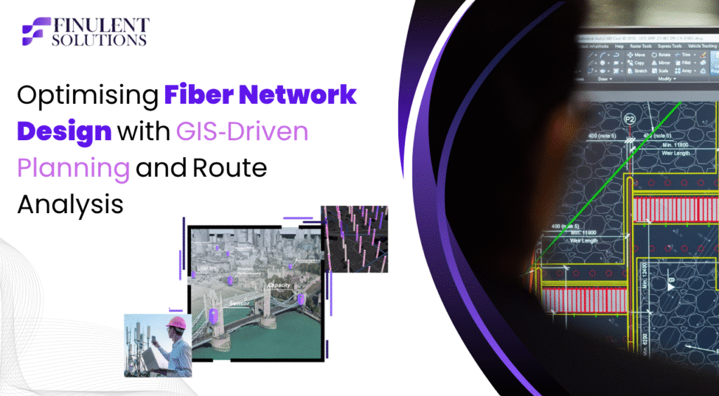
Introduction
As worldwide digital needs grow exponentially from remote work, IoT, smart cities, and especially heavy bandwidth consumption streaming services, the strain on telecommunications infrastructure demand is progressing at an exceptional rate, and with the established knowledge of fiber optic technology, especially speed and bandwidth, we have the framework to support the transformation. However, simply deploying a fiber network cannot be considered “plug and play”. Fiber Network preparation includes a lot of planning, routing, analysing terrain, seeking utility coordination and cost management. This is where GIS (Geographic Information Systems) can transform this process. It has the specific ability to provide the precision, the efficiency, and the cost management that is required for the planning of fiber infrastructure.
The Need for Smarter Fiber Planning with GIS
Conventional fiber planning that relies heavily on manual drawings in CAD, spreadsheets, and isolated utility data is extremely inefficient and incorrect. It typically results in:
- Overbuilt networks
- Extra trenching, or extra poles
- Delayed permitting for environmental misalignment
- Budget overruns of 15 – 25% beyond projections
A study from Markets and Markets published in 2023 forecasted that the global fiber optics market is expected to exceed USD 11.5 billion by 2030, growing at a CAGR of 8.9% throughout the forecast period. The margin for error continues to shrink — GIS technology provides a scalable solution.
What GIS Brings to the Table
GIS tools help telecommunications engineers visualize, evaluate, and optimize fiber routes by overlaying spatial data and other relevant network logic. Here’s the rundown:
a. Terrain-Aware Planning
It includes elevation models, land use, and soil types to avoid high-cost or rugged terrain.
Example: In rural Texas, one utility company was able to avoid rocky elevations and re-route its trenching by 22% in length using topographical overlays within GIS.
b. Utility & Obstacles Mapping
Updating underground ducts, electric poles, pipelines, and railway tracks in real-time enables the engineer to reduce downtime and conflicts in the project.
c. Population Heatmaps & Demand Clusters
Leveraging census data and combinations of business density and school locations, It can assist in identifying high-demand zones for prioritizing rollout.
d. 3D Visualizations for Permitting
Having the ability to visualize not only where the fiber crosses environmental zones, rivers, or highways, but also to break down permitting obstructions and smooth approvals by Authorities Having Jurisdiction (AHJ) processes.
Statistical Edge of GIS-Driven Fiber Design
| Metric | Traditional Methods | GIS-Driven Design |
| Design Time | 4–6 weeks | 3–5 days |
| Cost Estimation Accuracy | ±20% | ±5% |
| Permit Approval Time | 30–45 days | 14–20 days |
| Route Optimization | Manual, static | Dynamic, terrain-aware |
| Rework Instances | High | Minimal |
Source: IQGeo, Esri ArcGIS case studies
“GIS saved us over $500,000 in planning and trenching optimization across 13 million feet of fiber in the Midwest region.”
— Skyde Solutions Case Study
How GIS Powers Route Optimization
Let’s see how algorithms are enhancing fiber design:
a. Network Solvers
GIS products like ArcGIS’s Closest Facility Solver or Route Solver, allow you to design optimized fiber routes between POP (Points of Presence) and distribution sites while accounting for impedance: barriers such as rivers, railroads or highways.
b. Cost Layering
The actual cost of each meter of fiber is a function of install type (aerial vs underground), locale and utilities near the proposed route. The design tool will help you find the route and the area with the lowest cost—not just distance.
c. Genetic Algorithms
Next generation design tools also use AI and genetic algorithms to evaluate tens of thousands of routing options.
According to a recent study by Academia.edu (2022)-
Potential Results of AI-Based Network Design on Capital Costs for FTTx , The findings indicate that AI-based designs for FTTx reduce fiber deployment costs by as much as 52% compared to the more traditional, manually drawn network.
d. What-If Simulations
Designers have the ability to simulate in the design tool urban growth or changes in other utility routes, and will see how those changes affect the existing routes prior to urban changes, meaning there are saved hours on urban design projects.
Case Studies
Intellias, Europe
Intellias created a GIS-centered heuristic engine to plan FTTx networks in Germany and Luxembourg. The engine featured:
- Auto-generating topologies
- Integration of field survey (mobile)
- Permitting overlays
- Predictive maintenance paths
Esri ArcGIS + Wireless Backhaul
By leveraging ArcGIS, the telecom operator connected 429 of its rural towers to their fiber backbone in under three minutes (using the “Closest Facility” tool, taking into account terrain, road access, and cost).
IQGeo Implementation with GIS
According to IQGeo, their GIS-based network planning tool was able to reduce design cycle time by 90%. They executed demand analytics, obtained input from field crews, and leveraged cloud-based maps, amassing a 10% reduction in rollout costs across several U.S. states.
Conclusion
GIS is more than a mapping tool – it’s a tactical weapon in today’s fiber design. Access to geospatial intelligence, real-time data and algorithms powered by AI will help telecom companies mitigate costs, delays and operational inefficiencies.
As the planet builds its digital spine, planning via GIS is not just an option; it is a requirement.